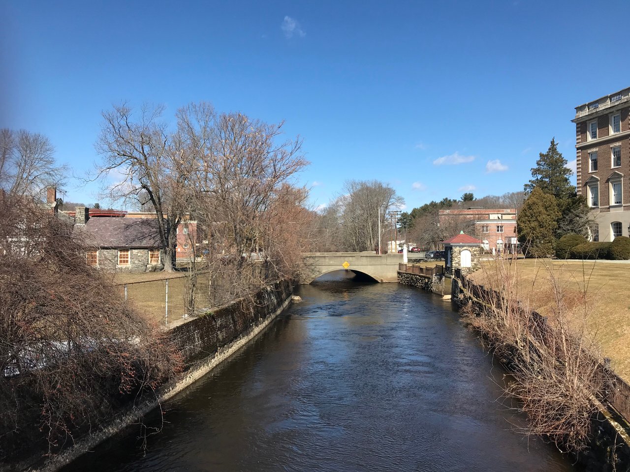
Andover is a town in Essex County about 20 miles north of Boston, where I-93 and I-495 meet. It pairs Downtown Andover on Main Street with the mill village of Ballardvale, the planned 1920s village of Shawsheen, two stations on the MBTA Haverhill Line, and conservation land that includes Holt Hill, the highest point in Essex County.
Native people fished and farmed along the Shawsheen and Merrimack rivers long before English settlement and called the area Cochichawick. The General Court set the land aside in 1634, English settlers arrived in the early 1640s, and Andover was incorporated in 1646. The first settlement was near Lake Cochichewick, in what is now North Andover. In 1855 that original North Parish became the separate town of North Andover, while the South and West parishes kept the Andover name.
Mills shaped the 1800s. The Ballardvale Manufacturing Company opened a mill on the Shawsheen River in 1836, and other mills grew up in Abbot and Marland villages. Phillips Academy was founded on Academy Hill in 1778, and Samuel Francis Smith wrote the words to "America" ("My Country, 'Tis of Thee") while studying at the Andover Theological Seminary. From around 1919 into the mid-1920s the American Woolen Company built Shawsheen Village as a planned community for its managers, and its mill closed in the 1950s. Andover borders Lawrence to the north, Methuen to the northwest across the Merrimack River, North Andover to the northeast, Tewksbury to the southwest, and Wilmington and North Reading to the south.
Andover has two stations on the MBTA Haverhill Line, Andover station downtown on Railroad Street and Ballardvale station in the south part of town, both with trains to North Station in Boston. I-93 and I-495 meet in Andover, Route 28 runs north and south through downtown as Main Street, and Routes 133 and 125 cross the town toward North Andover.
Andover real estate is a mix of single-family neighborhoods, historic village homes, and condominium and apartment communities. Saltboxes and center-chimney houses survive from the 1700s, Federal houses stand on Academy Hill, and Greek Revival, Italianate, Queen Anne, and Shingle Style homes date from the 1800s. Ballardvale has many modest 1800s cottages near its surviving mill buildings, and Shawsheen Village has more than 200 Colonial Revival and Tudor Revival houses from the 1920s.
Andover has 51 National Register listings, including seven districts: Shawsheen Village, Academy Hill, Andover Village Industrial, Ballardvale, Central Street, Main Street-Locke Street, and West Parish Center. Ballardvale and Central Street are also local historic districts. Areas include Downtown Andover, Ballardvale, Shawsheen Village, and Academy Hill.
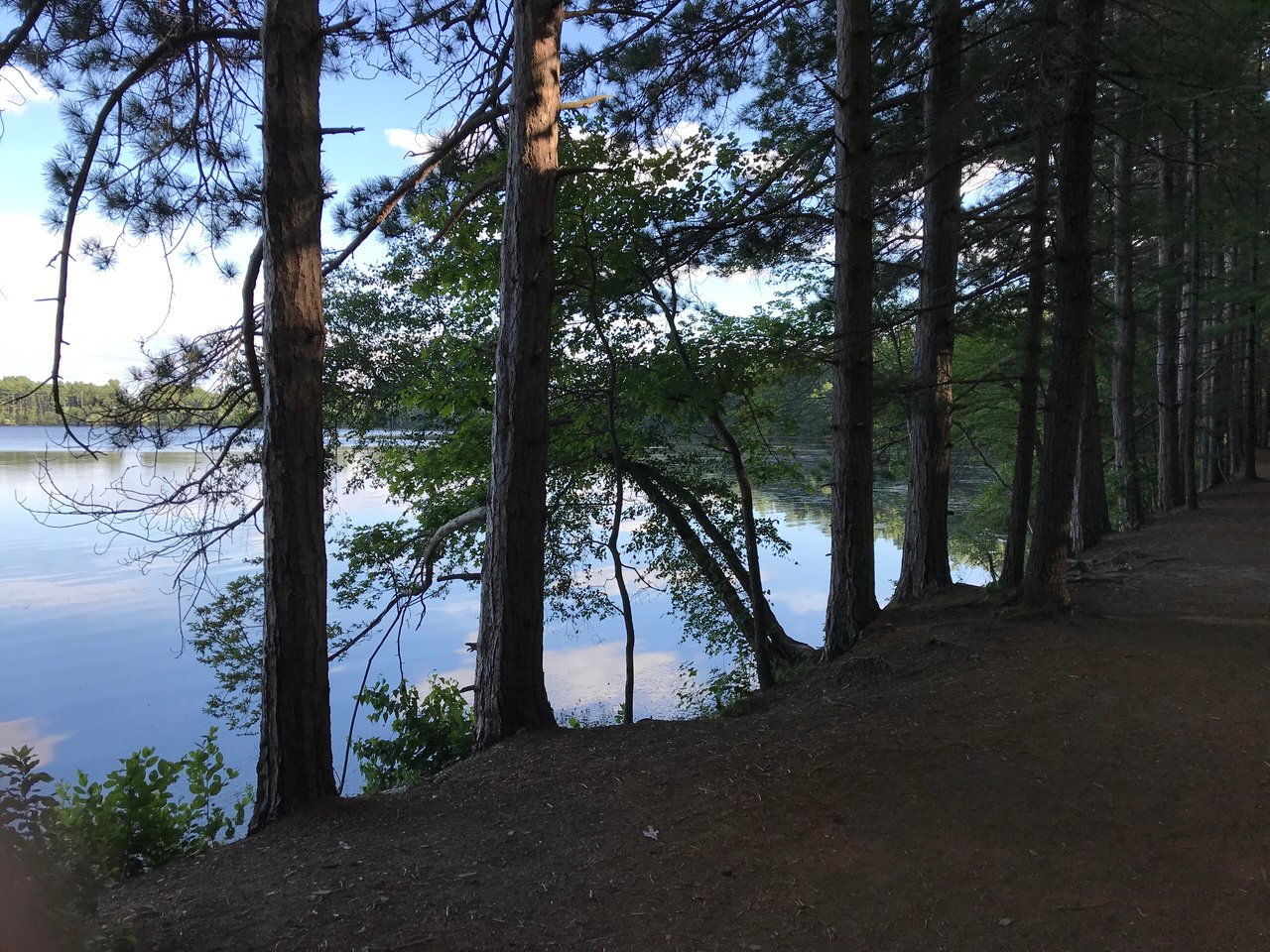
The Trustees' Charles W. Ward Reservation covers 704 acres in Andover and North Andover, with Holt Hill and a boardwalk across Pine Hole Bog, and part of Harold Parker State Forest reaches into town. The Andover Village Improvement Society, a land trust founded in 1894, keeps more than 1,000 acres of reservations open for hiking, and Pomps Pond is the town's swimming and boating spot.
Downtown Andover has the 1850s Old Town Hall and the 1873 Memorial Hall Library on Main Street, along with the Andover Center for History & Culture. Andover Day brings a street festival to Main Street each September, and the Feaster Five road race starts on Main Street on Thanksgiving morning.
Does Andover have a train station?
Yes, two. Andover and Ballardvale stations are both on the MBTA Haverhill Line, with trains to North Station in Boston.
How are Andover and North Andover related?
They were one town from 1646 until 1855. The original settlement and old town center are in North Andover, which became a separate town that year, while the south and west parts kept the Andover name.
What kinds of homes are in Andover?
Andover has 1700s Colonials, 1800s homes in Ballardvale and around downtown, 1920s Colonial Revival and Tudor Revival houses in Shawsheen Village, later suburban neighborhoods, and condominiums.
To see homes for sale in Andover, browse the listings below. Thinking of buying or selling in Andover? Call (617) 848-9616 or get a free home valuation. Andover is part of our North of Boston guide.
Photos: John Phelan, CC BY 4.0 and John Phelan, CC BY-SA 4.0, via Wikimedia Commons.
35,648 people live in Andover, where the median age is 43.7 and the average individual income is $88,945. Data provided by the U.S. Census Bureau.
Total Population
Median Age
Population Density Population Density This is the number of people per square mile in a neighborhood.
Average individual Income
There's plenty to do around Andover, including shopping, dining, nightlife, parks, and more. Data provided by Walk Score and Yelp.
Explore popular things to do in the area, including Mobil, Central Street Cafe, and MrBeast Burger.
| Name | Category | Distance | Reviews |
Ratings by
Yelp
|
|---|---|---|---|---|
| Dining · $$$ | 0.91 miles | 3 reviews | 1.7/5 stars | |
| Dining | 1.23 miles | 2 reviews | 3/5 stars | |
| Dining | 1.33 miles | 8 reviews | 2.6/5 stars | |
| Dining | 1.34 miles | 0 reviews | 0/5 stars | |
| Dining | 1.39 miles | 0 reviews | 0/5 stars | |
| Dining · $ | 1.42 miles | 15 reviews | 2.9/5 stars | |
| Shopping | 1.39 miles | 0 reviews | 0/5 stars | |
| Shopping | 1.41 miles | 0 reviews | 0/5 stars | |
| Active | 0.97 miles | 0 reviews | 0/5 stars | |
| Active | 1.05 miles | 0 reviews | 0/5 stars | |
| Active | 1.34 miles | 0 reviews | 0/5 stars | |
| Beauty | 0.19 miles | 0 reviews | 0/5 stars | |
| Beauty | 1.15 miles | 0 reviews | 0/5 stars | |
| Beauty | 1.15 miles | 0 reviews | 0/5 stars | |
| Beauty | 1.17 miles | 0 reviews | 0/5 stars | |
| Beauty | 1.34 miles | 112 reviews | 4.4/5 stars | |
| Beauty | 1.37 miles | 3 reviews | 2.3/5 stars | |
| Beauty | 1.39 miles | 0 reviews | 0/5 stars | |
| Beauty | 1.39 miles | 0 reviews | 0/5 stars | |
| Beauty | 1.4 miles | 11 reviews | 4.3/5 stars | |
| Beauty | 1.4 miles | 0 reviews | 0/5 stars | |
| Beauty | 1.41 miles | 0 reviews | 0/5 stars | |
| Beauty | 1.41 miles | 0 reviews | 0/5 stars | |
| Beauty | 1.42 miles | 0 reviews | 0/5 stars | |
|
|
||||
|
|
||||
|
|
||||
|
|
||||
|
|
||||
|
|
Andover has 13,298 households, with an average household size of 2.62. Data provided by the U.S. Census Bureau. Here’s what the people living in Andover do for work — and how long it takes them to get there. Data provided by the U.S. Census Bureau. 35,648 people call Andover home. The population density is 1,168 and the largest age group is Data provided by the U.S. Census Bureau.
Total Population
Population Density Population Density This is the number of people per square mile in a neighborhood.
Median Age
Men vs Women
Population by Age Group
0-9 Years
10-17 Years
18-24 Years
25-64 Years
65-74 Years
75+ Years
Education Level
Total Households
Average Household Size
Average individual Income
Households with Children
With Children:
Without Children:
Marital Status
Blue vs White Collar Workers
Blue Collar:
White Collar: