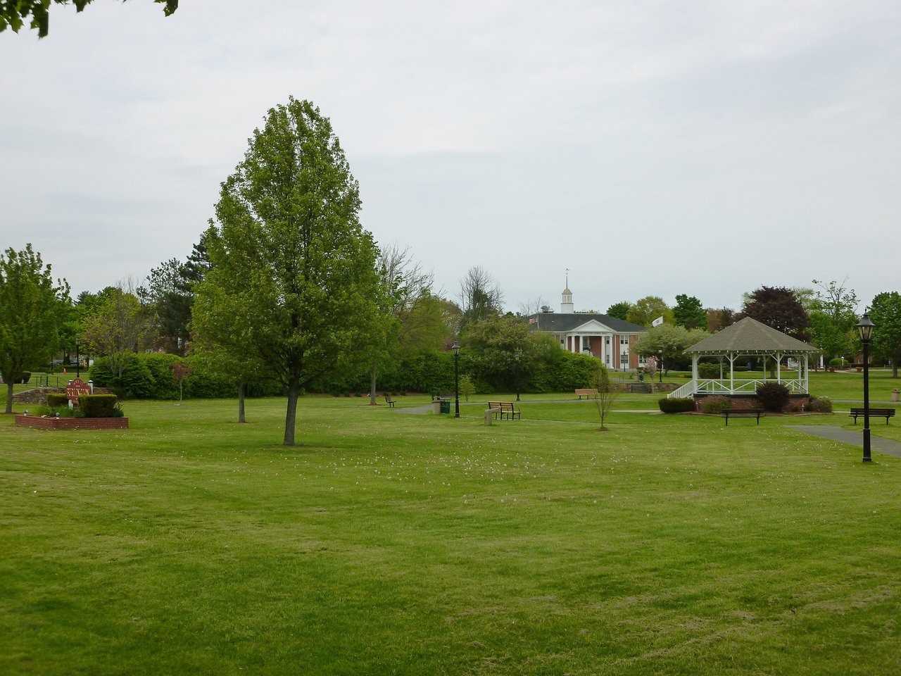
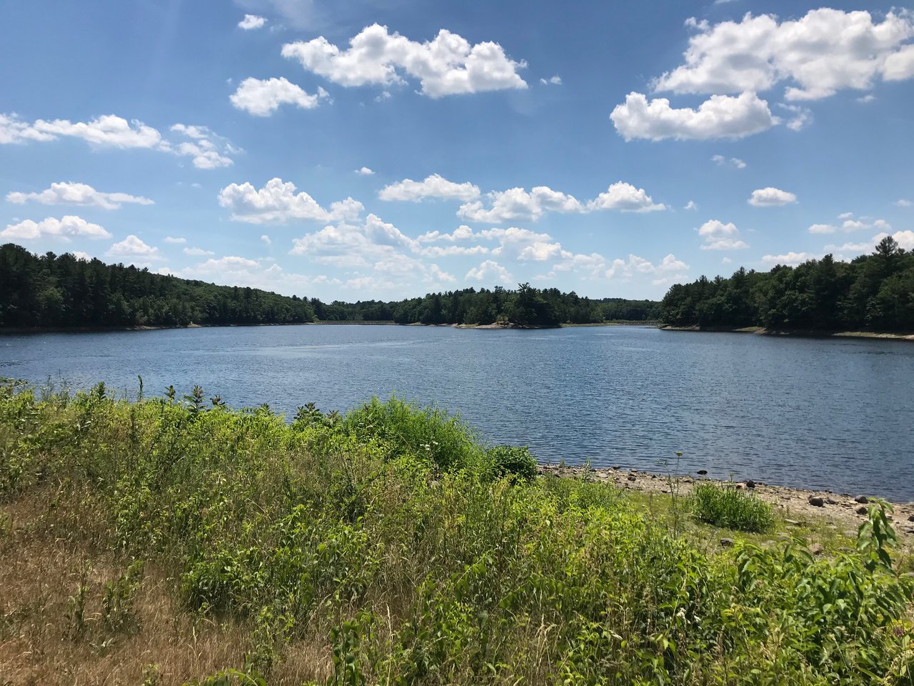
Burlington is a town in Middlesex County about 12 miles northwest of Boston, where I-95/Route 128 meets the Route 3 expressway. It pairs a Town Common and a 1732 meetinghouse with neighborhoods built mostly in the 1950s and 1960s, the Mill Pond Conservation Area, Mary Cummings Park, the Burlington Landlocked Forest, and the Burlington Mall.
Native people used trails through the area, including routes along today's Cambridge Street. Burlington began as part of Woburn, and farms spread into the area from Woburn in the mid-1600s. It became Woburn's Second Parish in 1730, built its meetinghouse in 1732, and was incorporated as the town of Burlington in 1799. On April 19, 1775, John Hancock and Samuel Adams fled from Lexington to Burlington.
For most of its history Burlington was a farm town, sending hops, rye, milk, fruit, and vegetables to Boston, with small shoemaking shops and mills along Vine Brook. The Middlesex Turnpike came through in 1806, but the railroads passed the town by. Route 128 was built along its southern edge in the 1950s, and Burlington grew quickly from a farm town into a suburban and business center. The Burlington Mall opened in 1968. Burlington borders Billerica to the north, Wilmington to the northeast, Woburn to the southeast, Lexington to the south, and Bedford to the west.
Burlington has no commuter rail station. Anderson/Woburn station on the Lowell Line is about 3 miles east in Woburn, with trains to North Station, Amtrak Downeaster service, and Logan Express buses to Logan Airport. MBTA buses run from Burlington to Alewife on the Red Line and to downtown Boston. I-95/Route 128 crosses the south side of town, the Route 3 expressway toward Lowell and New Hampshire begins at its interchange in Burlington, and Route 3A and Route 62 cross the town.
Burlington real estate is mostly single-family neighborhoods built in the 1950s and 1960s, with ranches, split-levels, Capes, and newer Colonials, plus apartment and condominium options. A number of houses from the 1700s survive, along with Greek Revival and Italianate farmhouses from the mid-1800s and craftsman-style cottages and bungalows from the early 1900s, including the Wynnmere area along Winn Street.
The 1732 Meeting House of the Second Parish, the early 1700s Francis Wyman House, the 1794 West School, and the 1850s Center School, now the town's historical museum, are listed on the National Register. Areas include the Town Center around the Common, North Burlington, and Wynnmere.
The Mill Pond Conservation Area covers about 140 acres around the Mill Pond Reservoir on the east side of town, with trails through woods and wetlands. The Burlington Landlocked Forest has about 250 acres of woods and more than 12 miles of trails, and Mary Cummings Park, more than 200 acres on the Woburn line, is managed by The Trustees.
The Town Common and Simonds Park sit together in the town center near the public library on Sears Street. Celebrate Burlington brings activities, a car show, a concert, and fireworks to the Common each summer, and the tree lighting on the Common is a long-running December tradition. The Burlington Mall, a large regional mall, sits near Route 128 and Route 3.
Does Burlington have a train station?
No. The closest commuter rail stop is Anderson/Woburn on the Lowell Line, about 3 miles east, and MBTA buses run from Burlington to Alewife on the Red Line and to downtown Boston.
What kinds of homes are in Burlington?
Burlington is mostly single-family homes built in the 1950s and 1960s, including ranches, split-levels, and Capes, along with newer Colonials, a few older farmhouses, and apartment and condominium options.
Where can you walk or hike in Burlington?
The Mill Pond Conservation Area, the Burlington Landlocked Forest, and Mary Cummings Park all have trails, and the Town Common and Simonds Park are in the center of town.
To see homes for sale in Burlington, browse the listings below. Thinking of buying or selling in Burlington? Call (617) 848-9616 or get a free home valuation. Burlington is part of our North of Boston guide.
Photos: Emw, CC BY-SA 3.0 and John Phelan, CC BY-SA 4.0, via Wikimedia Commons.
26,274 people live in Burlington, where the median age is 45.9 and the average individual income is $69,012. Data provided by the U.S. Census Bureau.
Total Population
Median Age
Population Density Population Density This is the number of people per square mile in a neighborhood.
Average individual Income
There's plenty to do around Burlington, including shopping, dining, nightlife, parks, and more. Data provided by Walk Score and Yelp.
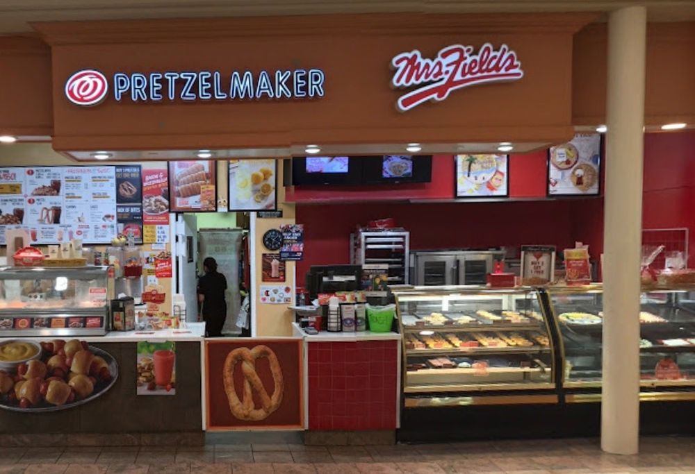
Explore popular things to do in the area, including Suremark Foods, Mrs. Fields Burlington Mall, and Allie's American Grille.
| Name | Category | Distance | Reviews |
Ratings by
Yelp
|
|---|---|---|---|---|
| Dining | 0.88 miles | 0 reviews | 0/5 stars | |
| Dining | 0.95 miles | 3 reviews | 4/5 stars | |
| Dining | 1.19 miles | 0 reviews | 0/5 stars | |
| Shopping | 0.37 miles | 0 reviews | 0/5 stars | |
| Shopping | 0.51 miles | 0 reviews | 0/5 stars | |
| Active | 0.14 miles | 0 reviews | 0/5 stars | |
| Active | 0.53 miles | 0 reviews | 0/5 stars | |
| Active | 0.59 miles | 5 reviews | 5/5 stars | |
| Active | 0.7 miles | 1 review | 3/5 stars | |
| Active | 0.86 miles | 5 reviews | 4.2/5 stars | |
| Active | 0.93 miles | 1 review | 5/5 stars | |
| Active | 0.98 miles | 0 reviews | 0/5 stars | |
| Active | 1.14 miles | 0 reviews | 0/5 stars | |
| Active | 1.2 miles | 0 reviews | 0/5 stars | |
| Beauty | 0.14 miles | 0 reviews | 0/5 stars | |
| Beauty | 0.14 miles | 0 reviews | 0/5 stars | |
| Beauty | 0.52 miles | 4 reviews | 4.3/5 stars | |
| Beauty | 0.55 miles | 0 reviews | 0/5 stars | |
| Beauty | 0.55 miles | 0 reviews | 0/5 stars | |
| Beauty | 0.71 miles | 0 reviews | 0/5 stars | |
| Beauty | 1.24 miles | 0 reviews | 0/5 stars | |
| Beauty | 1.25 miles | 0 reviews | 0/5 stars | |
| Beauty | 1.31 miles | 0 reviews | 0/5 stars | |
| Beauty | 1.32 miles | 12 reviews | 2.8/5 stars | |
|
|
||||
|
|
||||
|
|
||||
|
|
||||
|
|
||||
|
|
Burlington has 9,974 households, with an average household size of 2.61. Data provided by the U.S. Census Bureau. Here’s what the people living in Burlington do for work — and how long it takes them to get there. Data provided by the U.S. Census Bureau. 26,274 people call Burlington home. The population density is 2,236 and the largest age group is Data provided by the U.S. Census Bureau.
Total Population
Population Density Population Density This is the number of people per square mile in a neighborhood.
Median Age
Men vs Women
Population by Age Group
0-9 Years
10-17 Years
18-24 Years
25-64 Years
65-74 Years
75+ Years
Education Level
Total Households
Average Household Size
Average individual Income
Households with Children
With Children:
Without Children:
Marital Status
Blue vs White Collar Workers
Blue Collar:
White Collar: