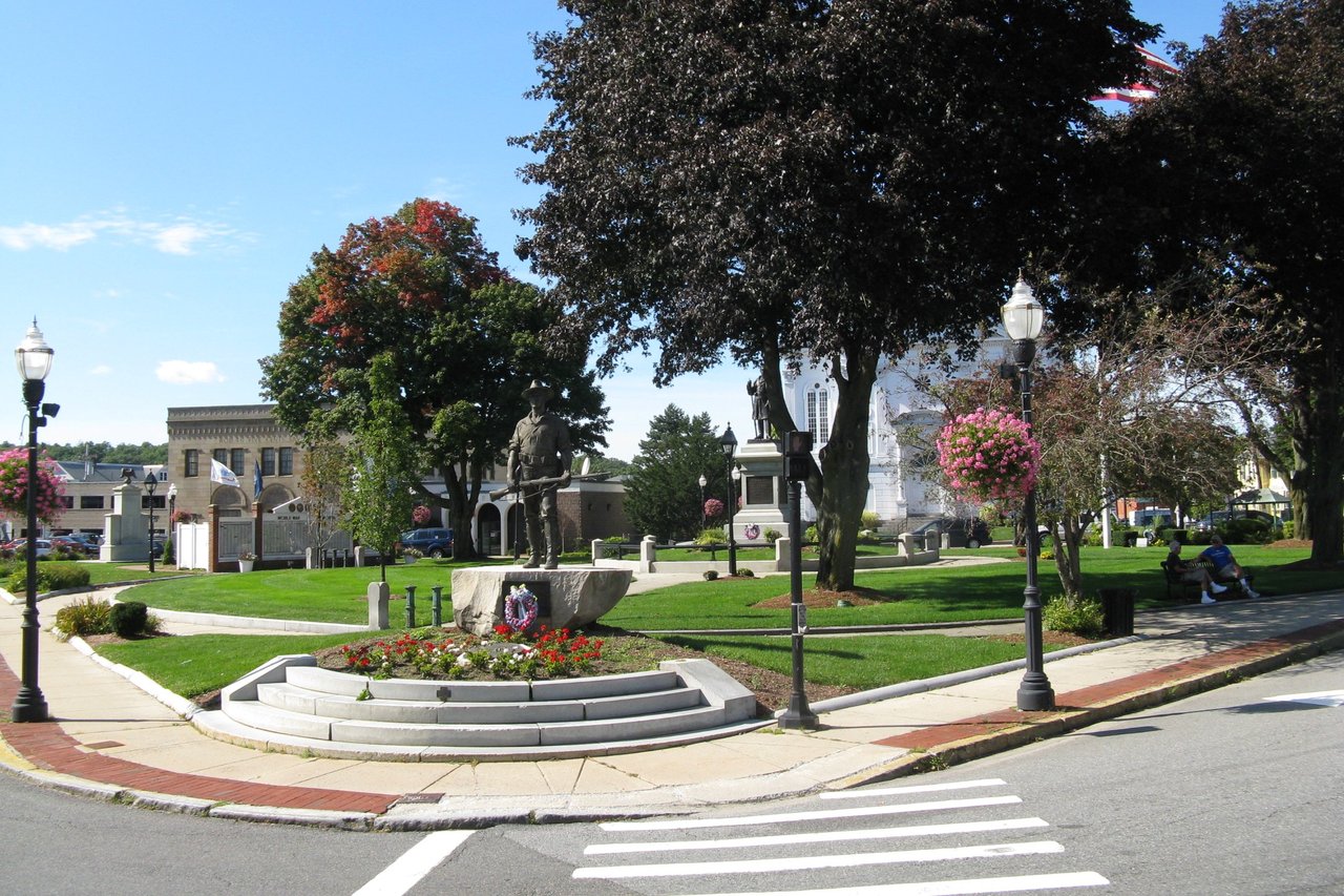
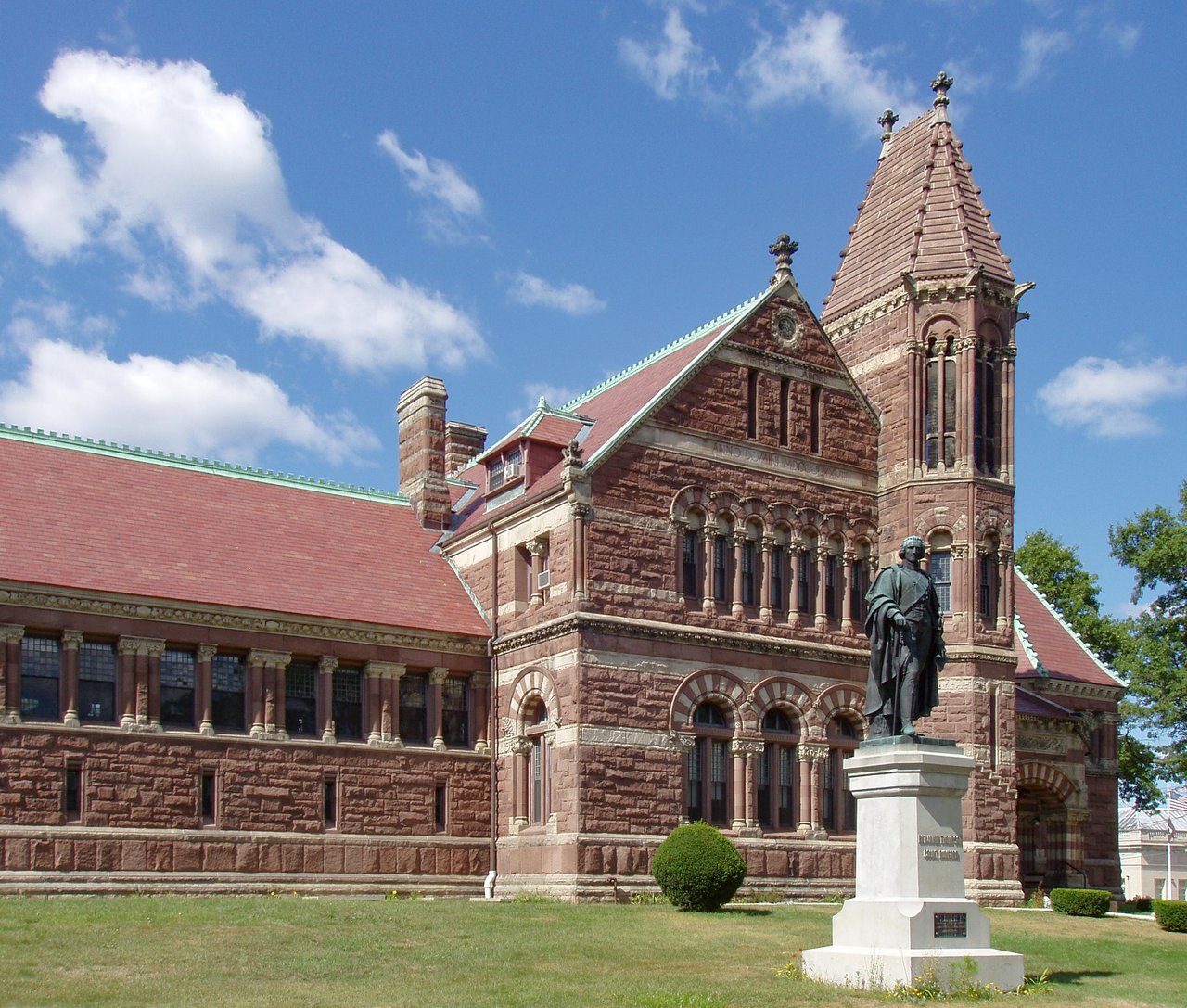
Woburn is a city in Middlesex County about 10 miles north of Boston, where I-93 and I-95/Route 128 cross. It pairs Woburn Center, with its Common and H. H. Richardson's 1879 public library, with North Woburn, Cummingsville, Horn Pond, and Anderson/Woburn station on the MBTA Lowell Line.
Native people fished and hunted around Horn Pond and the Aberjona River long before English settlement. The area began as Charlestown Village, land granted to the Charlestown church, and was settled in 1640 and incorporated as the town of Woburn in 1642. Capt. Edward Johnson, one of its founders, wrote an early history of the Massachusetts Bay Colony. Land from Woburn helped form Wilmington in 1730, Burlington became its own town in 1799, and Winchester followed in 1850. Woburn became a city in 1888.
Loammi Baldwin of Woburn engineered the Middlesex Canal, which opened in 1803 and passed Horn Pond on its way between Boston and the Merrimack River, and the Boston and Lowell Railroad came through in 1835. Shoemaking and then leather tanning shaped the 1800s, and Woburn remained a major leather-tanning center into the 1900s. Benjamin Thompson, later Count Rumford, was born here in 1753, and Charles Goodyear's 1839 rubber vulcanization work is tied to Woburn. Woburn borders Wilmington to the north, Reading to the northeast, Stoneham to the east, Winchester to the south, Lexington to the southwest, and Burlington to the northwest.
Anderson/Woburn station on Atlantic Avenue is a stop on the MBTA Lowell Line, with trains to North Station in Boston. The same station has Amtrak Downeaster service toward Portland, Maine, and Logan Express buses to Logan Airport. MBTA buses connect Woburn with Burlington, Alewife on the Red Line, Wellington on the Orange Line, and downtown Boston. I-93 and I-95/Route 128 both cross the city and meet near the Stoneham and Reading lines, and Route 38 runs through the city.
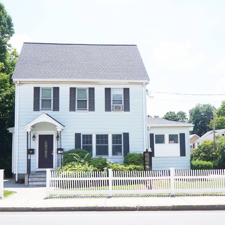
Woburn real estate is a mix of single-family homes, multi-families, and condominiums. Simple 1700s houses survive, including the gambrel-roofed Count Rumford Birthplace, along with Federal houses in North Woburn and on Elm, Lexington, and Main streets. Italianate villas, Greek Revival houses, and Gothic Revival cottages went up in the mid-1800s, Queen Anne and Colonial Revival homes and workers' cottages followed around 1900, and the west side grew quickly in the 1950s.
The Woburn Public Library, the Loammi Baldwin Mansion, the 1790 House, the First Congregational Church, the Count Rumford Birthplace, the First Burial Ground, and the Woburn Center post office are listed on the National Register, as is the Middlesex Canal. Areas include Woburn Center around the Common, North Woburn, Cummingsville, East Woburn, and the Horn Pond area.
Horn Pond covers about 102 acres beside Horn Pond Mountain, with trails around the water and a boat launch. Mary Cummings Park, more than 200 acres on the Burlington line, is managed by The Trustees and open free from sunrise to sunset, and a preserved stretch of the Middlesex Canal sits beside the Baldwin House in North Woburn.
The Woburn Public Library on Pleasant Street, designed by H. H. Richardson, has a statue of Count Rumford out front, and the Rumford Historical Association owns his birthplace on Elm Street. Each October brings the long-running Woburn Host Lions Club Halloween Parade, and the Saturday after Thanksgiving brings a tree lighting and festival on the Common.
How do you get to Boston from Woburn?
Anderson/Woburn station on the Lowell Line has trains to North Station, and MBTA buses run to Alewife, Wellington, and downtown Boston. By car, I-93 heads south into Boston.
What kinds of homes are in Woburn?
Woburn has single-family homes from the 1700s through the postwar years, Victorian-era houses near the center, multi-families, and condominiums.
What is Horn Pond?
Horn Pond is a pond of about 102 acres in Woburn with walking trails, a boat launch, and Horn Pond Mountain beside it. It drains through Horn Pond Brook to the Aberjona River.
To see homes for sale in Woburn, browse the listings below. Thinking of buying or selling in Woburn? Call (617) 848-9616 or get a free home valuation. Woburn is part of our North of Boston guide.
Photos: John Phelan, CC BY 4.0 and Daderot, CC BY-SA 3.0, via Wikimedia Commons.
41,939 people live in Woburn, where the median age is 39.3 and the average individual income is $58,435. Data provided by the U.S. Census Bureau.
Total Population
Median Age
Population Density Population Density This is the number of people per square mile in a neighborhood.
Average individual Income
There's plenty to do around Woburn, including shopping, dining, nightlife, parks, and more. Data provided by Walk Score and Yelp.
Explore popular things to do in the area, including Pardon My Cheesesteak, MMFive Bakery, and 315 Main.
| Name | Category | Distance | Reviews |
Ratings by
Yelp
|
|---|---|---|---|---|
| Dining | 0 miles | 0 reviews | 0/5 stars | |
| Dining | 0.17 miles | 0 reviews | 0/5 stars | |
| Dining | 0.6 miles | 0 reviews | 0/5 stars | |
| Dining | 0.99 miles | 0 reviews | 0/5 stars | |
| Dining | 1.05 miles | 1 review | 5/5 stars | |
| Dining | 1.29 miles | 0 reviews | 0/5 stars | |
| Dining | 1.54 miles | 0 reviews | 0/5 stars | |
| Shopping | 1.42 miles | 0 reviews | 0/5 stars | |
| Active | 0.42 miles | 0 reviews | 0/5 stars | |
| Active | 0.44 miles | 0 reviews | 0/5 stars | |
| Active | 1.19 miles | 12 reviews | 5/5 stars | |
| Active | 1.29 miles | 0 reviews | 0/5 stars | |
| Active | 1.39 miles | 1 review | 5/5 stars | |
| Active | 1.39 miles | 0 reviews | 0/5 stars | |
| Nightlife | 1.07 miles | 235 reviews | 3.7/5 stars | |
| Nightlife | 1.38 miles | 0 reviews | 0/5 stars | |
| Beauty | 0.34 miles | 4 reviews | 3.3/5 stars | |
| Beauty | 0.46 miles | 1 review | 1/5 stars | |
| Beauty | 0.47 miles | 0 reviews | 0/5 stars | |
| Beauty | 0.73 miles | 4 reviews | 4/5 stars | |
| Beauty | 0.97 miles | 0 reviews | 0/5 stars | |
| Beauty | 0.99 miles | 0 reviews | 0/5 stars | |
| Beauty | 1.03 miles | 0 reviews | 0/5 stars | |
|
|
||||
|
|
||||
|
|
||||
|
|
||||
|
|
||||
|
|
Woburn has 16,432 households, with an average household size of 2.54. Data provided by the U.S. Census Bureau. Here’s what the people living in Woburn do for work — and how long it takes them to get there. Data provided by the U.S. Census Bureau. 41,939 people call Woburn home. The population density is 3,315 and the largest age group is Data provided by the U.S. Census Bureau.
Total Population
Population Density Population Density This is the number of people per square mile in a neighborhood.
Median Age
Men vs Women
Population by Age Group
0-9 Years
10-17 Years
18-24 Years
25-64 Years
65-74 Years
75+ Years
Education Level
Total Households
Average Household Size
Average individual Income
Households with Children
With Children:
Without Children:
Marital Status
Blue vs White Collar Workers
Blue Collar:
White Collar: