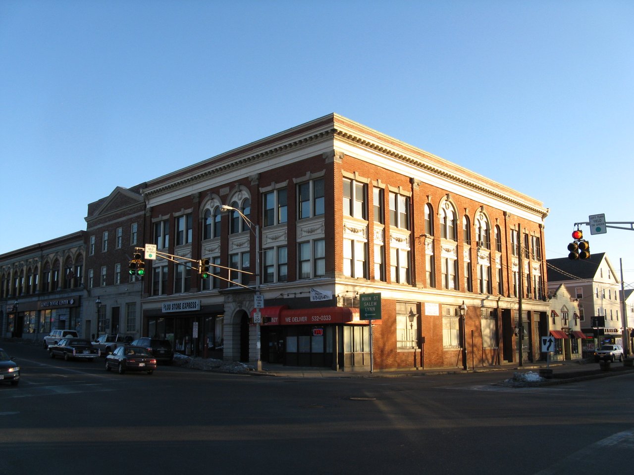
Peabody is a city in Essex County about 15 miles northeast of Boston, where I-95 and Route 128 split. Long known as the Leather City for its tanneries, it pairs a historic downtown at Peabody Square with quieter streets in West Peabody, a city-run farm, and a paved rail trail.
Peabody was settled in the 1620s as part of Salem, and its early farming areas were known as Northfields, Salem Farms, and Brooksby. In 1752 it became the South Parish of the new District of Danvers. It separated from Danvers as the town of South Danvers in 1855 and was renamed in 1868 for George Peabody, the banker and philanthropist born here in 1795. Peabody became a city in 1916.
Tanners were at work here by about 1640, and by 1855 the town had 27 tanneries. Leather stayed at the center of the local economy well into the 20th century, which is how Peabody earned its nickname. Peabody borders Danvers to the north, Middleton to the northwest, Lynnfield to the west, Lynn to the south, and Salem to the east.
Peabody has no commuter rail station, and the closest is Salem station on the MBTA Newburyport/Rockport Line, with service to North Station. MBTA buses connect Peabody with Central Square in Lynn, near the Lynn commuter rail stop, and with Salem Depot. I-95, Route 128, Route 1, Route 114, and Route 129 all pass through the city.
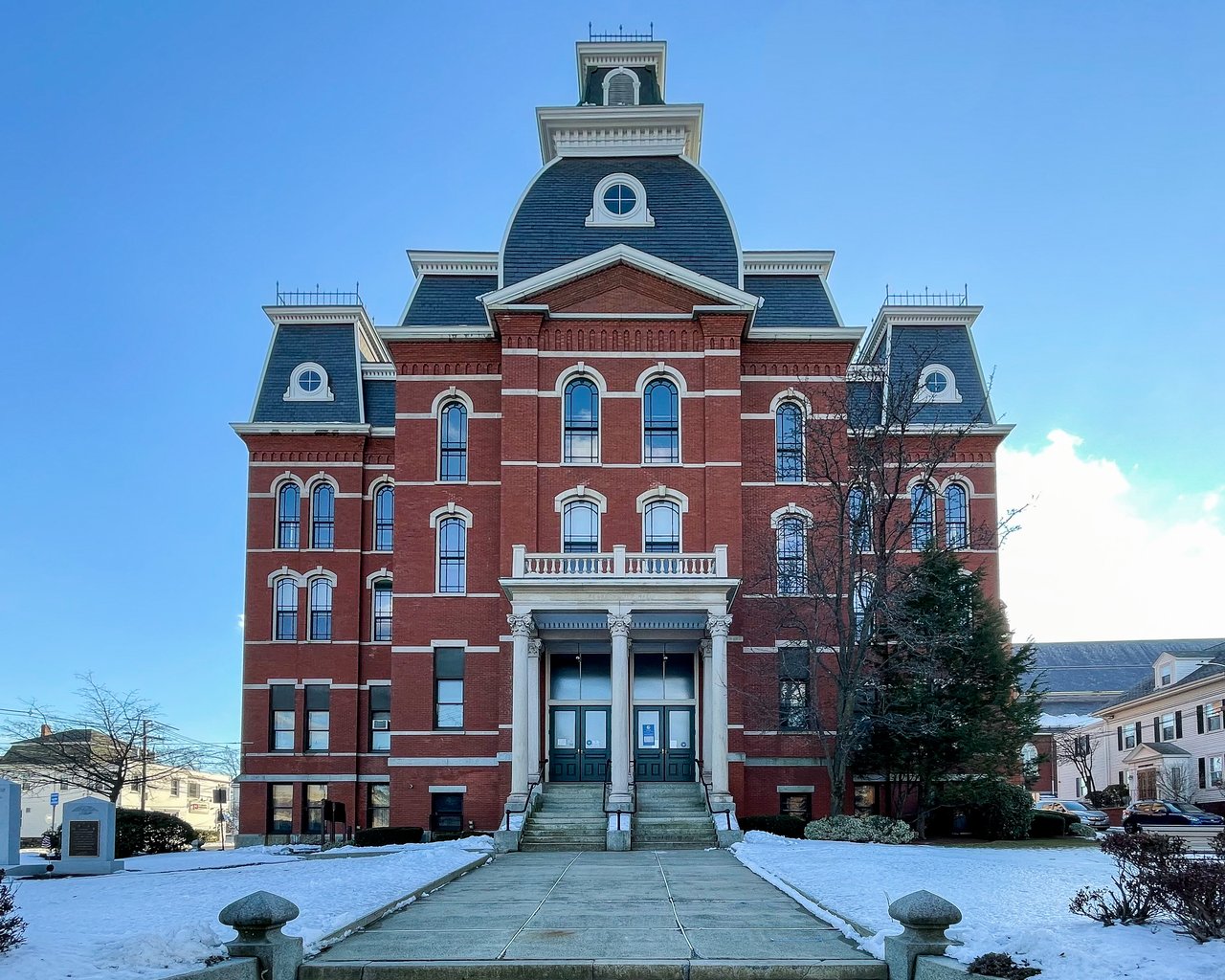
Peabody real estate is mostly single-family homes, along with two- to four-family houses and condominiums. Downtown has the city's oldest neighborhoods. The Washington Street Historic District, running south from Main Street to Aborn Street, has two- and three-story wood-frame houses in Federal, Greek Revival, and Italianate styles, built by the city's 19th-century civic and business leaders. Around City Hall, the Peabody Civic Center Historic District has mid-1800s homes on Chestnut and Franklin streets.
West Peabody was mostly farmland until the 1950s and has grown into a more suburban part of the city. A few First Period houses survive, including the Felton houses on Felton Street, built around 1700. Neighborhoods include Downtown and Peabody Square, South Peabody, the Proctor area, Brooksby, and West Peabody.
Brooksby Farm on Felton Street is a city-run working farm with pick-your-own fruit in season, barnyard animals, and hayrides, next to the Felton-Smith Historic Site and its 1903 Smith Barn. The Independence Greenway, a paved trail on former rail lines, covers about 4.6 miles in two segments, one of them passing the Crystal Lake Conservation Area in West Peabody.
The Meadow at Peabody is a city-owned 18-hole public golf course, and the private Salem Country Club has hosted the U.S. Women's Open and the U.S. Senior Open. Downtown, the George Peabody House Museum, his birthplace on Washington Street, also houses the Peabody Leather Workers Museum. The Peabody Institute Library on Main Street opened in 1854 with a gift from George Peabody. Northshore Mall, opened in 1958, is on Route 114 near Route 128.
What kinds of homes are in Peabody?
Peabody is mostly single-family homes, with two- to four-family houses and condominiums across the city. Downtown has Federal, Greek Revival, and Italianate houses in the Washington Street and Civic Center historic districts, and West Peabody has newer homes built on former farmland.
How do you get to Boston from Peabody?
Peabody has no commuter rail station; the nearest is Salem station, with trains to North Station. MBTA buses connect Peabody with Salem Depot and with Central Square in Lynn, and I-95, Route 128, and Route 1 run through the city.
Why is Peabody called the Leather City?
Tanning began in Peabody around 1640, and by 1855 the town had 27 tanneries. Leather remained central to the local economy into the second half of the 20th century, and the George Peabody House Museum now houses the Peabody Leather Workers Museum.
To see homes for sale in Peabody, browse the listings below. Thinking of buying or selling in Peabody? Call (617) 848-9616 or get a free home valuation. Peabody is part of our North of Boston guide.
Photos: Fletcher, CC BY 4.0 and John Phelan, CC BY 3.0, via Wikimedia Commons.
54,695 people live in Peabody, where the median age is 45.3 and the average individual income is $51,060. Data provided by the U.S. Census Bureau.
Total Population
Median Age
Population Density Population Density This is the number of people per square mile in a neighborhood.
Average individual Income
There's plenty to do around Peabody, including shopping, dining, nightlife, parks, and more. Data provided by Walk Score and Yelp.
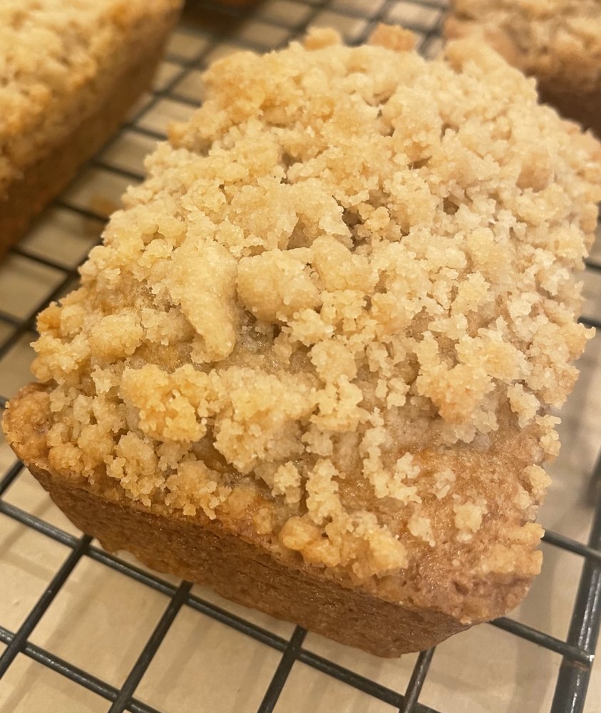
Explore popular things to do in the area, including D's Bakeshop, Birria Gordita Tacos, and Wholesale Bakery.
| Name | Category | Distance | Reviews |
Ratings by
Yelp
|
|---|---|---|---|---|
| Dining | 0 miles | 0 reviews | 0/5 stars | |
| Dining | 0.72 miles | 0 reviews | 0/5 stars | |
| Dining | 0.87 miles | 0 reviews | 0/5 stars | |
| Dining | 0.89 miles | 0 reviews | 0/5 stars | |
| Dining | 0.9 miles | 2 reviews | 3/5 stars | |
| Dining | 0.93 miles | 0 reviews | 0/5 stars | |
| Shopping | 0.52 miles | 0 reviews | 0/5 stars | |
| Active | 0.02 miles | 0 reviews | 0/5 stars | |
| Active | 0.34 miles | 0 reviews | 0/5 stars | |
| Active | 0.67 miles | 0 reviews | 0/5 stars | |
| Active | 0.89 miles | 0 reviews | 0/5 stars | |
| Beauty | 0.02 miles | 0 reviews | 0/5 stars | |
| Beauty | 0.02 miles | 9 reviews | 5/5 stars | |
| Beauty | 0.02 miles | 0 reviews | 0/5 stars | |
| Beauty | 0.02 miles | 0 reviews | 0/5 stars | |
| Beauty | 0.02 miles | 0 reviews | 0/5 stars | |
| Beauty | 0.34 miles | 0 reviews | 0/5 stars | |
| Beauty | 0.52 miles | 1 review | 2/5 stars | |
| Beauty | 0.57 miles | 1 review | 5/5 stars | |
| Beauty | 0.72 miles | 0 reviews | 0/5 stars | |
| Beauty | 0.72 miles | 0 reviews | 0/5 stars | |
| Beauty | 0.8 miles | 0 reviews | 0/5 stars | |
| Beauty | 0.94 miles | 11 reviews | 4.1/5 stars | |
| Beauty | 0.94 miles | 0 reviews | 0/5 stars | |
|
|
||||
|
|
||||
|
|
||||
|
|
||||
|
|
||||
|
|
Peabody has 22,390 households, with an average household size of 2.41. Data provided by the U.S. Census Bureau. Here’s what the people living in Peabody do for work — and how long it takes them to get there. Data provided by the U.S. Census Bureau. 54,695 people call Peabody home. The population density is 3,369 and the largest age group is Data provided by the U.S. Census Bureau.
Total Population
Population Density Population Density This is the number of people per square mile in a neighborhood.
Median Age
Men vs Women
Population by Age Group
0-9 Years
10-17 Years
18-24 Years
25-64 Years
65-74 Years
75+ Years
Education Level
Total Households
Average Household Size
Average individual Income
Households with Children
With Children:
Without Children:
Marital Status
Blue vs White Collar Workers
Blue Collar:
White Collar: