Lynnfield is a town in Essex County about 14 miles north of Boston, where I-95 and Route 128 meet U.S. Route 1. It pairs a historic common in Lynnfield Center with ponds, conservation land, and the Reedy Meadow marsh, plus a modern shopping and dining district at MarketStreet.
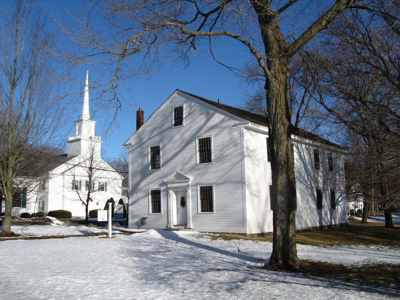
Settlers from Lynn began farming here in 1638, and for more than a century the area was known as Lynn End. It became a separate parish in 1712, and two years later residents built the meeting house that still stands on the town common. Lynn End became the District of Lynnfield in 1782 and was incorporated as a town in 1814. On April 19, 1775, Lynnfield minutemen gathered at a local tavern and marched toward Lexington and Concord.
In the early 1800s the Newburyport Turnpike, later U.S. Route 1, cut through South Lynnfield, and railroads and then streetcars followed. Ice was harvested on Suntaug Lake, and a granite quarry operated where Bow Ridge is today. Lynnfield borders North Reading to the north, Middleton and Peabody to the northeast, Lynn to the southeast, Saugus to the south, Wakefield to the southwest, and Reading to the west.
Lynnfield has no commuter rail station. The closest stops are Wakefield and Greenwood stations in Wakefield, on the MBTA Haverhill Line, with service to North Station in Boston. There are no MBTA bus stops in town. I-95 and Route 128 run through Lynnfield together, and U.S. Route 1 and Route 129 pass through South Lynnfield.
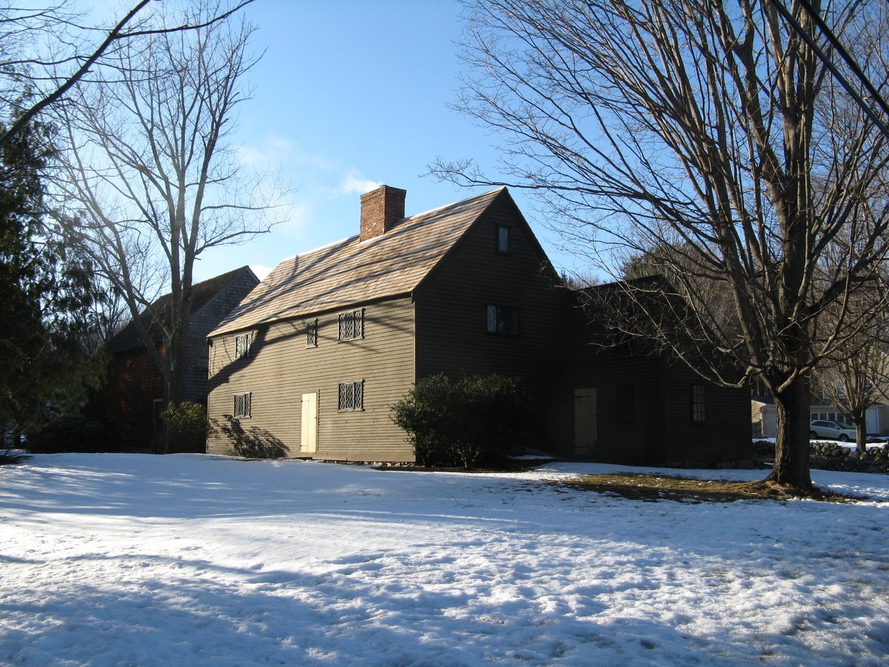
Lynnfield real estate ranges from First Period farmhouses to postwar subdivisions. The Hart House on Chestnut Street and the Henfield House on Main Street are saltboxes from around 1700, both on the National Register of Historic Places. Federal and Greek Revival houses line Main, Summer, Salem, and Walnut streets, and the late 1800s added gable-front and Colonial Revival homes.
South Lynnfield grew first, around the turnpike and the railroad, with Colonial Revival, Dutch Colonial, and Tudor houses from the early 1900s. The town grew quickly after World War II, with new subdivisions in the south and homes along the shores of Pillings Pond and Suntaug Lake. Neighborhoods include Lynnfield Center, South Lynnfield, the Pillings Pond and Suntaug Lake areas, and the MarketStreet area.
Reedy Meadow, shared with Wakefield, is a National Natural Landmark and one of the largest freshwater cattail marshes in Massachusetts, with a boardwalk out to Partridge Island. Pillings Pond covers about 96 acres, and Rotary Park on Summer Street has a fishing dock and a small boat launch. Bow Ridge, a former quarry, has about 74 acres of town land with trails and views of the Boston skyline, and it borders the much larger Lynn Woods.
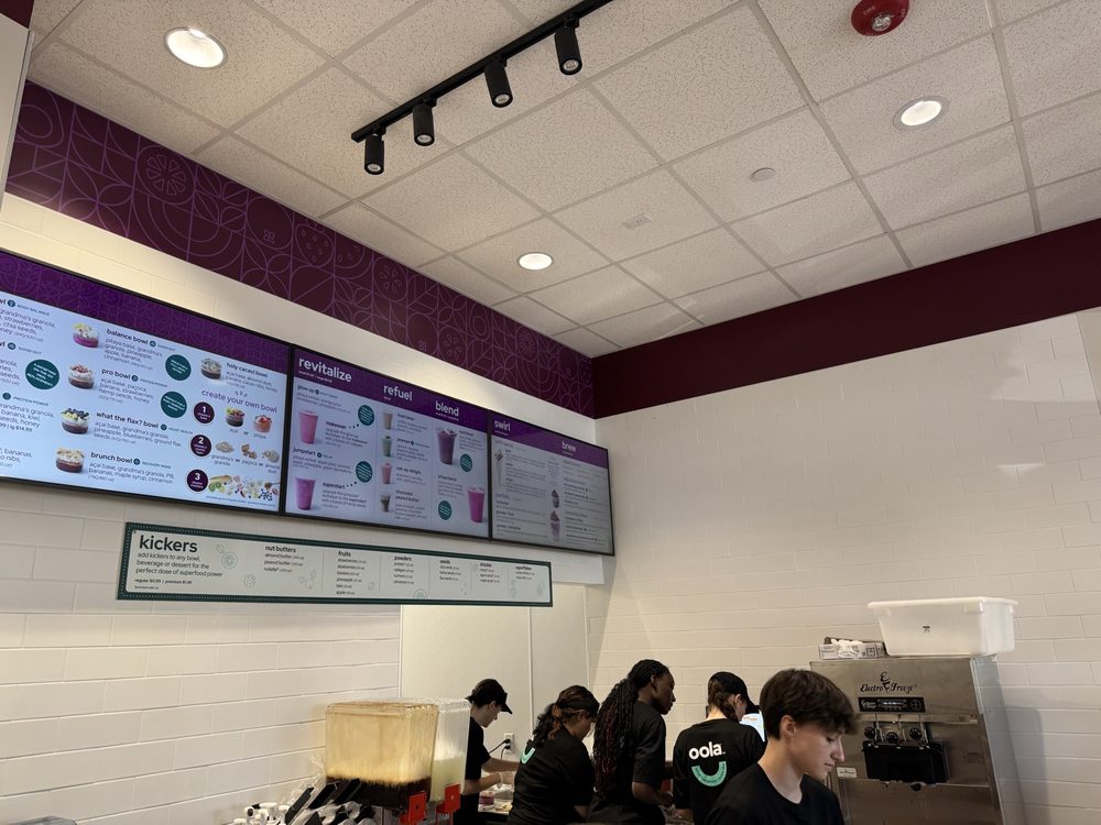
MarketStreet Lynnfield, which opened its first stores in 2013 on the site of the former Colonial golf course, is an outdoor shopping and dining district. Golfers have Sagamore Spring, a public 18-hole course that opened its first nine holes in 1929, and King Rail Reserve, a town-owned nine-hole course that opened in 2016. Conservation areas along the Ipswich River and Beaver Dam Brook add more trails.
What kinds of homes are in Lynnfield?
Lynnfield has First Period saltboxes from around 1700, Federal and Greek Revival houses along its older roads, and Colonial Revival and Tudor homes in South Lynnfield. Postwar single-family subdivisions and homes near Pillings Pond and Suntaug Lake add variety.
How do you get to Boston from Lynnfield?
Lynnfield has no train station, but Wakefield and Greenwood stations on the MBTA Haverhill Line have direct trains to North Station. By car, I-95, Route 128, and U.S. Route 1 all run through town.
What is the Meetinghouse Common District?
The Meetinghouse Common District covers the town common in Lynnfield Center and the buildings around it on Main, Summer, and South Common streets. Its centerpiece is the 1714 meeting house, one of the oldest surviving Puritan meeting houses in New England, and the district was listed on the National Register of Historic Places in 1976.
To see homes for sale in Lynnfield, browse the listings below. Thinking of buying or selling in Lynnfield? Call (617) 848-9616 or get a free home valuation. Lynnfield is part of our North of Boston guide.
Photos: John Phelan, CC BY 3.0, via Wikimedia Commons.
13,285 people live in Lynnfield, where the median age is 41.9 and the average individual income is $78,738. Data provided by the U.S. Census Bureau.
Total Population
Median Age
Population Density Population Density This is the number of people per square mile in a neighborhood.
Average individual Income
There's plenty to do around Lynnfield, including shopping, dining, nightlife, parks, and more. Data provided by Walk Score and Yelp.
Explore popular things to do in the area, including Main Street Market, Fire & Flour, and Monastiero Restaurant Grp.
| Name | Category | Distance | Reviews |
Ratings by
Yelp
|
|---|---|---|---|---|
| Dining | 0.74 miles | 0 reviews | 0/5 stars | |
| Dining | 0.87 miles | 0 reviews | 0/5 stars | |
| Dining | 0.91 miles | 0 reviews | 0/5 stars | |
| Dining | 1.41 miles | 9 reviews | 4.4/5 stars | |
| Dining | 1.44 miles | 6 reviews | 3/5 stars | |
| Shopping | 1.29 miles | 5 reviews | 4.2/5 stars | |
| Shopping | 1.31 miles | 2 reviews | 3/5 stars | |
| Shopping | 1.34 miles | 7 reviews | 3.7/5 stars | |
| Shopping | 1.34 miles | 0 reviews | 0/5 stars | |
| Shopping | 1.39 miles | 1 review | 1/5 stars | |
| Active | 0.77 miles | 10 reviews | 4.8/5 stars | |
| Active | 0.78 miles | 0 reviews | 0/5 stars | |
| Active | 1.66 miles | 1 review | 5/5 stars | |
| Beauty | 1.31 miles | 3 reviews | 5/5 stars | |
| Beauty | 1.61 miles | 11 reviews | 5/5 stars | |
| Beauty | 1.66 miles | 4 reviews | 4/5 stars | |
| Beauty | 1.85 miles | 1 review | 5/5 stars | |
| Beauty | 1.88 miles | 27 reviews | 3.7/5 stars | |
|
|
||||
|
|
||||
|
|
||||
|
|
||||
|
|
||||
|
|
Lynnfield has 4,650 households, with an average household size of 2.84. Data provided by the U.S. Census Bureau. Here’s what the people living in Lynnfield do for work — and how long it takes them to get there. Data provided by the U.S. Census Bureau. 13,285 people call Lynnfield home. The population density is 1,318 and the largest age group is Data provided by the U.S. Census Bureau.
Total Population
Population Density Population Density This is the number of people per square mile in a neighborhood.
Median Age
Men vs Women
Population by Age Group
0-9 Years
10-17 Years
18-24 Years
25-64 Years
65-74 Years
75+ Years
Education Level
Total Households
Average Household Size
Average individual Income
Households with Children
With Children:
Without Children:
Marital Status
Blue vs White Collar Workers
Blue Collar:
White Collar: