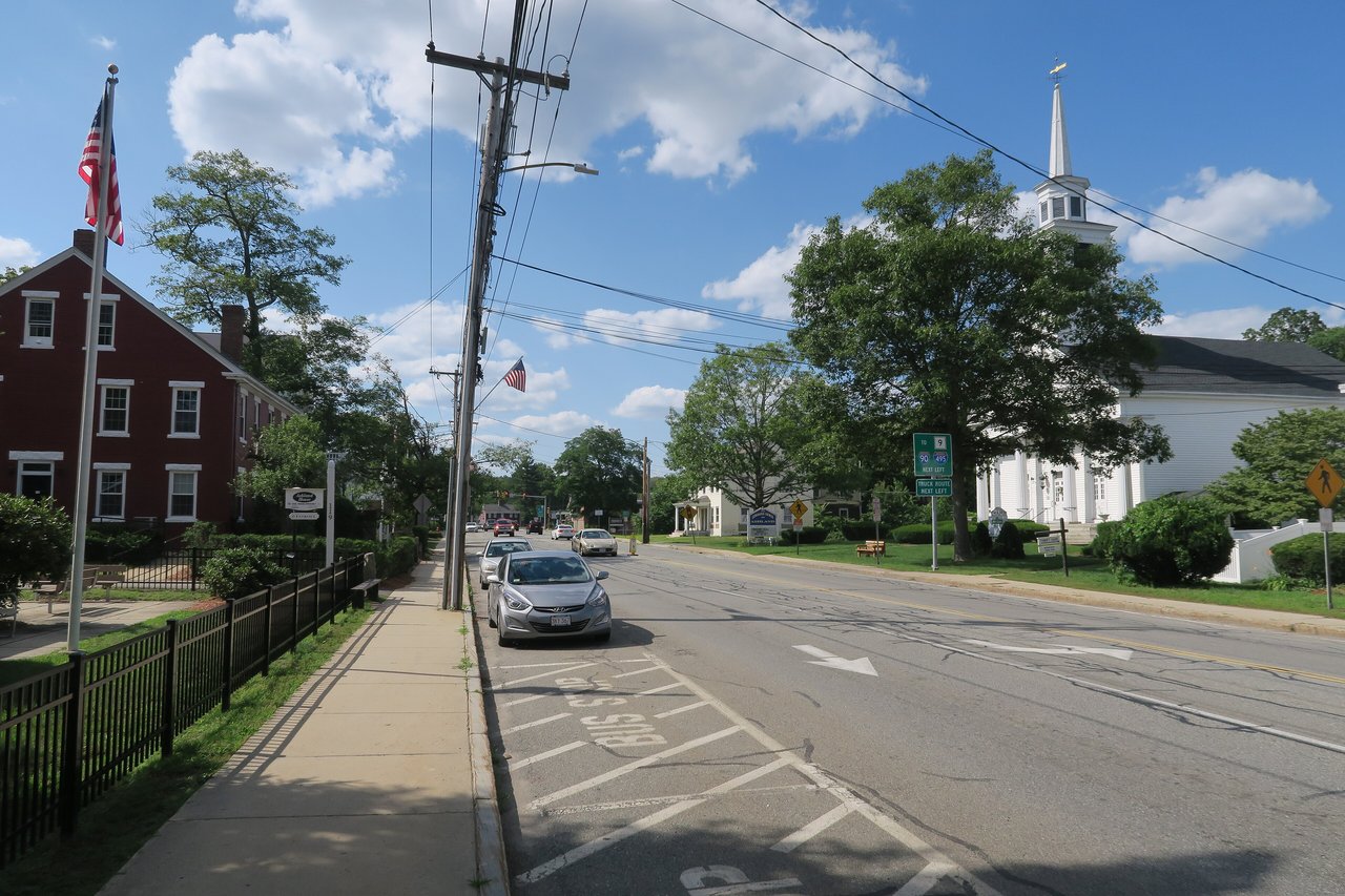
Ashland is a town in Middlesex County about 22 miles west of Boston, roughly halfway between Boston and Worcester. It pairs a historic downtown along the Sudbury River with a commuter rail station, Route 126 shopping along Pond Street, and woods and water at Ashland State Park, part of Hopkinton State Park, the Ashland Town Forest, and Warren Woods.
Native people lived in the area long before English settlement, and around 1660 the missionary John Eliot set up the praying town of Magunkaquog on Megunko Hill. Scattered English farms followed after 1700, with grist and sawmills on the Sudbury River from the early 1700s. The Boston and Worcester Railroad arrived in 1834, and the village then known as Unionville grew around the river and the depot. Ashland was incorporated in 1846 from parts of Framingham, Hopkinton, and Holliston.
Shoemaking and mills grew with the railroad, and the Dwight Printing Company built granite factories on Main Street around 1870. The first Boston Marathon in 1897 started at Metcalf's Mill in Ashland, and the start moved to Hopkinton in 1924. Henry E. Warren built electric clocks here from the 1910s, giving Ashland the nickname Clock Town, and the Telechron plant ran until the early 1990s. Ashland borders Framingham to the northeast, Sherborn to the east, Holliston to the south, Hopkinton to the southwest, and Southborough to the northwest.
Ashland station, off Pleasant Street, is on the MBTA Framingham/Worcester Line, with trains to Back Bay and South Station and a large park-and-ride lot. The MetroWest Regional Transit Authority runs local buses. Route 135 runs through downtown along the Boston Marathon course, and Route 126 runs north and south along Pond Street toward Framingham. The Mass Pike and I-495 are a short drive away. The paved Trolley Brook Trail, the first section of the Upper Charles Trail in town, runs about 0.6 miles from Megunko Road to Memorial Drive.
Ashland real estate ranges from colonial houses to postwar neighborhoods and condos. Center-chimney colonials and Cape Cod cottages survive from the 1700s, along with Greek Revival and Italianate houses from the railroad era, Queen Anne homes, and gambrel-roofed workers' cottages. Ashland is also known for early-1900s bungalows built with fieldstone and cobble masonry. Farmland gave way to subdivisions from the 1950s on, and condominiums and shopping centers have grown along Route 126 since the 1980s.
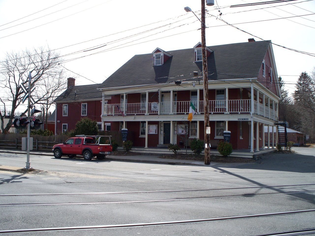
The Ashland Town House at 101 Main Street, built in 1855 and still used as town hall, is on the National Register, as are the dams and spillways at the Ashland and Hopkinton reservoirs. The Ocean House, built in 1748, is home to the Ashland Historical Society, and Stone's Public House downtown dates to the 1830s, when the railroad arrived. Areas include downtown along Main and Front streets, the Route 126 and Pond Street corridor, the neighborhoods near the train station, and the south side near Warren Woods.
Ashland State Park wraps around Ashland Reservoir, with a swimming beach, boat launch, fishing, and a loop trail, and Hopkinton State Park, which reaches into Ashland, has beaches, paddling, and trails for hiking, biking, and riding. The Ashland Town Forest and Warren Woods add more hiking trails, and the town has protected hundreds of acres of open space in recent years.
Stone Park on Summer Street has a walking path, playground, ballfield, community garden, and a gazebo with summer concerts, and it hosts Ashland Day each September. The Ashland Farmers Market runs Saturdays from June into October, and the Ashland Public Library on Front Street is a Carnegie library dedicated in 1904. A small park on Pleasant Street marks the original Boston Marathon start.
How do you get to Boston from Ashland?
Ashland station is on the MBTA Framingham/Worcester Line, with trains to Back Bay and South Station. By car, Route 135 and Route 126 connect to the Mass Pike, and I-495 is a short drive west.
Did the Boston Marathon start in Ashland?
Yes. The first Boston Marathon in 1897 started at Metcalf's Mill in Ashland. The start moved west to Hopkinton in 1924, when the course was lengthened.
What kinds of homes are in Ashland?
Ashland has 18th-century colonials and Capes, railroad-era Greek Revival and Italianate houses, early-1900s cobblestone bungalows, postwar subdivisions, and condominiums along Route 126.
To see homes for sale in Ashland, browse the listings below. Thinking of buying or selling in Ashland? Call (617) 848-9616 or get a free home valuation. Ashland is part of our MetroWest guide.
Photos: DaveFrancis1971, CC BY-SA 3.0 and John Phelan, CC BY-SA 4.0, via Wikimedia Commons.
18,873 people live in Ashland, where the median age is 42 and the average individual income is $71,514. Data provided by the U.S. Census Bureau.
Total Population
Median Age
Population Density Population Density This is the number of people per square mile in a neighborhood.
Average individual Income
There's plenty to do around Ashland, including shopping, dining, nightlife, parks, and more. Data provided by Walk Score and Yelp.
Explore popular things to do in the area, including Wine Empire, Ashland Package Store, and Clover Road Brewing.
| Name | Category | Distance | Reviews |
Ratings by
Yelp
|
|---|---|---|---|---|
| Dining | 0.17 miles | 21 reviews | 4.7/5 stars | |
| Dining | 0.26 miles | 0 reviews | 0/5 stars | |
| Dining | 0.28 miles | 1 review | 5/5 stars | |
| Dining | 0.53 miles | 0 reviews | 0/5 stars | |
| Dining | 0.58 miles | 0 reviews | 0/5 stars | |
| Active | 0.21 miles | 0 reviews | 0/5 stars | |
| Active | 0.35 miles | 3 reviews | 4.7/5 stars | |
| Active | 0.57 miles | 0 reviews | 0/5 stars | |
| Active | 0.61 miles | 3 reviews | 3.7/5 stars | |
| Active | 0.61 miles | 1 review | 1/5 stars | |
| Active | 0.62 miles | 0 reviews | 0/5 stars | |
| Active | 0.8 miles | 5 reviews | 5/5 stars | |
| Beauty | 0.13 miles | 1 review | 5/5 stars | |
| Beauty | 0.16 miles | 0 reviews | 0/5 stars | |
| Beauty | 0.31 miles | 0 reviews | 0/5 stars | |
| Beauty | 0.32 miles | 0 reviews | 0/5 stars | |
| Beauty | 0.32 miles | 0 reviews | 0/5 stars | |
| Beauty | 0.32 miles | 0 reviews | 0/5 stars | |
| Beauty | 0.32 miles | 0 reviews | 0/5 stars | |
| Beauty | 0.32 miles | 0 reviews | 0/5 stars | |
| Beauty | 0.33 miles | 0 reviews | 0/5 stars | |
| Beauty | 0.4 miles | 1 review | 1/5 stars | |
| Beauty | 0.68 miles | 0 reviews | 0/5 stars | |
| Beauty | 0.79 miles | 0 reviews | 0/5 stars | |
|
|
||||
|
|
||||
|
|
||||
|
|
||||
|
|
||||
|
|
Ashland has 7,643 households, with an average household size of 2. Data provided by the U.S. Census Bureau. Here’s what the people living in Ashland do for work — and how long it takes them to get there. Data provided by the U.S. Census Bureau. 18,873 people call Ashland home. The population density is 1,879 and the largest age group is Data provided by the U.S. Census Bureau.
Total Population
Population Density Population Density This is the number of people per square mile in a neighborhood.
Median Age
Men vs Women
Population by Age Group
0-9 Years
10-17 Years
18-24 Years
25-64 Years
65-74 Years
75+ Years
Education Level
Total Households
Average Household Size
Average individual Income
Households with Children
With Children:
Without Children:
Marital Status
Blue vs White Collar Workers
Blue Collar:
White Collar: