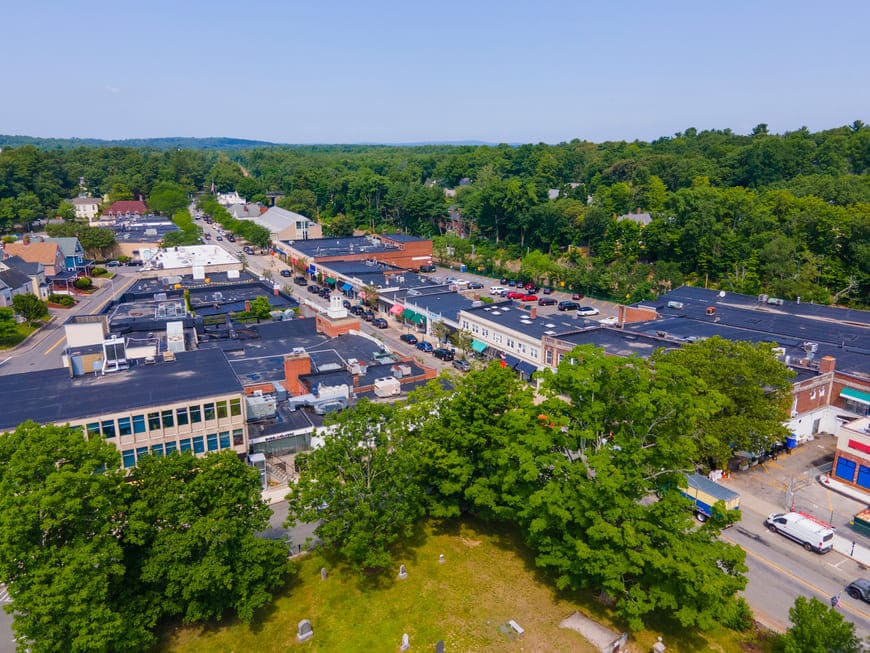
Wellesley is a town in Norfolk County west of Boston, between Newton and Natick, with village centers at Wellesley Square, Wellesley Hills, Wellesley Farms, Lower Falls, and the Fells. It is known for its historic estates, its parks and aqueduct trails, and the campuses of Wellesley College and Babson College.
The land was part of the Dedham grant of 1636 and became part of Needham in 1711. As farms and mills spread along the Charles River and around Lake Waban, the western part of Needham became its own precinct in the 1770s and was known as West Needham. The Boston and Worcester Railroad arrived in 1834, and Boston businessmen began building country homes here. One of them, Horatio Hollis Hunnewell, named his estate on Washington Street Wellesley in honor of his wife's relatives, the Welles. When West Needham separated from Needham in 1881, the new town took the estate's name.
Wellesley College was founded in 1875 on grounds overlooking Lake Waban, and Babson held its first classes in 1919. Today Wellesley borders Weston to the north, Newton to the east, Needham and Dover to the south, and Natick to the west.
Commuter rail trains on the Framingham/Worcester Line stop at Wellesley Square, Wellesley Hills, and Wellesley Farms on the way to Back Bay and South Station. Route 9 crosses the town east to west, Route 16 follows Washington Street through the villages, and Route 128 and Interstate 95 run along the eastern edge.
Most homes in Wellesley are single-family houses, with a smaller number of condominiums, townhouses, and apartments. Italianate and Second Empire houses from the mid-1800s cluster near the east end of Washington Street and around Cliff Road, Rockland Street, and Linden Street, and smaller cottages line Cottage Street. Around the turn of the 20th century, architects designed large Queen Anne, Colonial Revival, and Arts and Crafts houses in Wellesley Hills, and from the 1920s on, new streets wound through the hills north of Route 9 and along Grove Street and Dover Street. Dutch Colonial houses appeared near Lower Falls and bungalows along Weston Road. The Hunnewell Estates Historic District, listed on the National Register of Historic Places, preserves the Hunnewell houses and grounds on Washington Street. As in many nearby towns, older houses are often replaced with new construction.
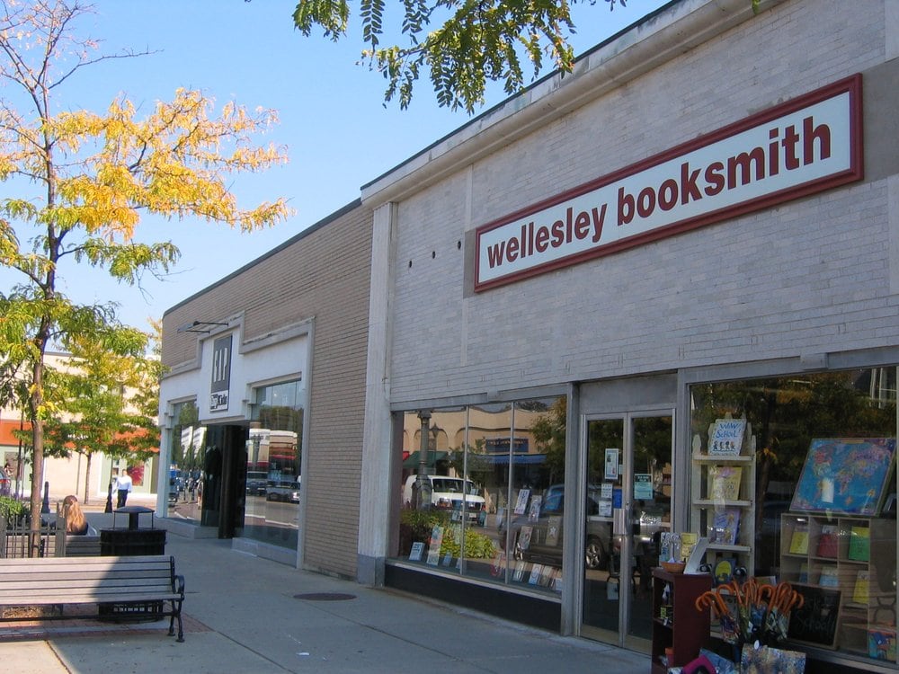
Wellesley Square, the main shopping district, centers on Central Street and Washington Street near the Queen Anne-style Town Hall, and Wellesley Hills has its own row of shops. Each April the Boston Marathon runs through town, passing Wellesley College and the race's halfway point. The Davis Museum on the college campus is open to the public.
The town has an unusual amount of open space for its size. The Brook Path in Fuller Brook Park, laid out in 1899 and listed on the National Register, follows the brooks through the center of town. Centennial Reservation climbs to the top of Maugus Hill, Morses Pond has a town beach, and the Town Forest is the largest reservation in Wellesley. Trails follow the old Cochituate and Sudbury aqueducts, including the Waban Arches over Waban Brook, and Elm Bank Reservation on the Charles River is home to gardens run by the Massachusetts Horticultural Society.
To see homes for sale in Wellesley, browse the listings below or contact Berkshire Hathaway HomeServices Warren Residential.
29,906 people live in Wellesley, where the median age is 38.1 and the average individual income is $113,079. Data provided by the U.S. Census Bureau.
Total Population
Median Age
Population Density Population Density This is the number of people per square mile in a neighborhood.
Average individual Income
There's plenty to do around Wellesley, including shopping, dining, nightlife, parks, and more. Data provided by Walk Score and Yelp.
Explore popular things to do in the area, including La Colombe Coffee Bar, Babson College Snack Bar, and Orion Partners.
| Name | Category | Distance | Reviews |
Ratings by
Yelp
|
|---|---|---|---|---|
| Dining | 0.12 miles | 0 reviews | 0/5 stars | |
| Dining | 0.42 miles | 1 review | 3/5 stars | |
| Dining | 0.44 miles | 0 reviews | 0/5 stars | |
| Dining | 1.24 miles | 1 review | 3/5 stars | |
| Dining · $ | 1.76 miles | 55 reviews | 3.1/5 stars | |
| Dining | 2.02 miles | 1 review | 4/5 stars | |
| Shopping | 0.44 miles | 2 reviews | 1/5 stars | |
| Shopping | 0.77 miles | 3 reviews | 5/5 stars | |
| Shopping | 0.85 miles | 55 reviews | 4.3/5 stars | |
| Active | 0.76 miles | 15 reviews | 4.9/5 stars | |
| Active | 0.85 miles | 0 reviews | 0/5 stars | |
| Active | 1.65 miles | 0 reviews | 0/5 stars | |
| Active | 2.2 miles | 0 reviews | 0/5 stars | |
| Beauty | 0.24 miles | 0 reviews | 0/5 stars | |
| Beauty | 0.24 miles | 0 reviews | 0/5 stars | |
| Beauty | 0.58 miles | 0 reviews | 0/5 stars | |
| Beauty | 0.58 miles | 48 reviews | 3.4/5 stars | |
| Beauty | 0.75 miles | 0 reviews | 0/5 stars | |
| Beauty | 1.03 miles | 0 reviews | 0/5 stars | |
| Beauty | 1.96 miles | 0 reviews | 0/5 stars | |
| Beauty | 1.96 miles | 6 reviews | 5/5 stars | |
|
|
||||
|
|
||||
|
|
||||
|
|
||||
|
|
||||
|
|
Wellesley has 9,101 households, with an average household size of 2.77. Data provided by the U.S. Census Bureau. Here’s what the people living in Wellesley do for work — and how long it takes them to get there. Data provided by the U.S. Census Bureau. 29,906 people call Wellesley home. The population density is 2,984 and the largest age group is Data provided by the U.S. Census Bureau.
Total Population
Population Density Population Density This is the number of people per square mile in a neighborhood.
Median Age
Men vs Women
Population by Age Group
0-9 Years
10-17 Years
18-24 Years
25-64 Years
65-74 Years
75+ Years
Education Level
Total Households
Average Household Size
Average individual Income
Households with Children
With Children:
Without Children:
Marital Status
Blue vs White Collar Workers
Blue Collar:
White Collar: