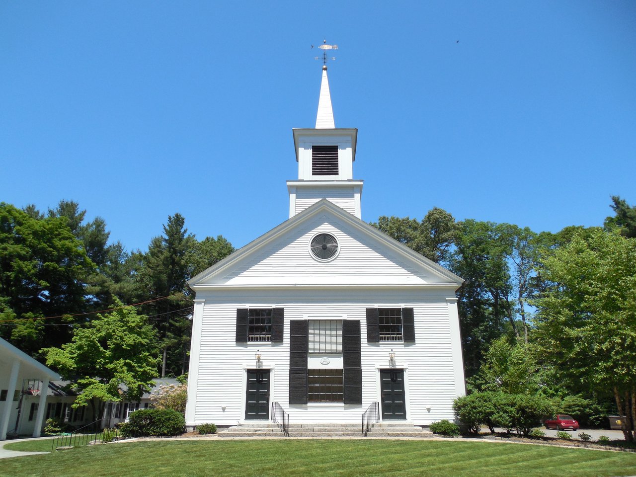
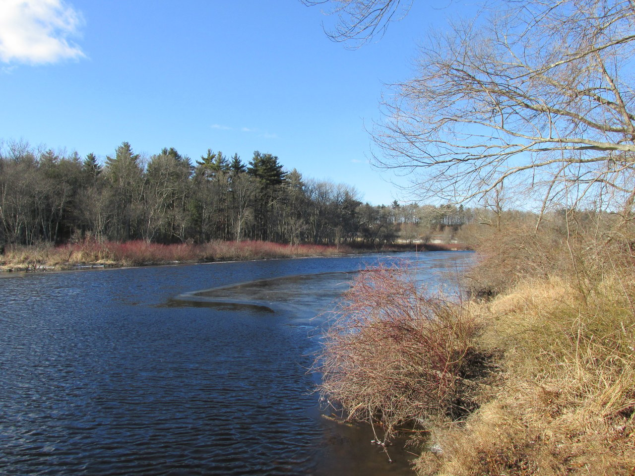
Dover is a town in Norfolk County about 15 miles southwest of Boston, along the Charles River. It pairs a small historic town center around the Town Common with woods, farms, and conservation land, including Noanet Woodlands, Powisset Farm, and Elm Bank, and a largely residential layout with very little state highway.
Native peoples fished at the mouth of Noanet Brook and camped on the plains above the Charles River long before English settlement. Dover began as part of Dedham's 1636 land grant, with the first farm established around 1640, and for years the area was known as Springfield for the springs of Trout Brook. It became Dedham's Springfield Parish in 1748, the District of Dover in 1784, and a separate town in 1836, named for Dover, England, the ancestral home of a parish leader.
Farming was the main work for two centuries, with a grist mill, a nail factory, and an iron mill on Noanet Brook in the early 1800s. A railroad reached Dover Center in 1861, and in the early 1900s Bostonians built country estates along the Charles and on Farm and Walpole streets. Many of today's neighborhoods grew out of those farms and estates. Dover borders Natick, Wellesley, and Needham to the north, Westwood to the east, Walpole and Medfield to the south, and Sherborn to the west.
Dover has no train station or MBTA bus service, but commuter rail stops in neighboring Needham, Wellesley, Natick, and Westwood are a short drive away, with trains to Back Bay and South Station. Amtrak stops at Route 128 station in Westwood. Route 109 runs along the Dover-Walpole line toward I-95/Route 128 in Westwood, and Route 16 runs just north of town toward Wellesley and the highway. Hartford Street follows an early-1800s turnpike, and the Charles River Link Trail passes through Chase Woodlands and Peters Reservation.
Dover real estate ranges from colonial farmhouses to estate-era homes and newer single-family houses. Center-chimney houses from the 1700s survive around town, along with Greek Revival cottages from the 1800s, country houses from the early 1900s in Tudor, Colonial Revival, and Federal Revival styles, and Colonial Revival and contemporary homes built later. Town zoning sets residential lot minimums of half an acre, one acre, and two acres, depending on the district.
Most Dover homes draw water from private wells, and a private water company serves about a third of the town. The Benjamin Caryl House on Dedham Street, built around 1777, is on the National Register, as is Elm Bank, a former estate on the Charles at the Dover-Wellesley line. Areas include Dover Center around Springdale Avenue and Dedham Street, the Charles River side of town, and the roads near Noanet and Powisset.
The Trustees own several reservations in Dover. Noanet Woodlands covers about 600 acres with more than 16 miles of trails, ponds, the site of an early 1800s iron mill, and a view of the Boston skyline from Noanet Peak. Across the street, Powisset Farm is a working farm with a farm store and loop trail, and Chase Woodlands and Peters Reservation link trails along the Charles. Hale's 1,100-plus acres straddle the Westwood line, and the town's Caryl Park on Dedham Street has playfields beside Noanet.
Elm Bank, a state reservation on the Charles, has river access, trails, and The Gardens at Elm Bank run by the Massachusetts Horticultural Society. In Dover Center, the Dover Historical Society runs the Sawin Museum and the Caryl House, the town library sits on Dedham Street, and the Dover Days Fair fills the center each September, with summer concerts on the Town Common.
Does Dover have town water?
Most Dover homes use private wells. A private water company serves about a third of the town, and a few properties get water from neighboring towns. Buyers should confirm the water source for any specific home.
How do you get to Boston from Dover?
Dover has no train station, but commuter rail stops in Needham, Wellesley, Natick, and Westwood are a short drive away. By car, Route 109 and Route 16 lead to I-95/Route 128.
What is there to do outdoors in Dover?
Noanet Woodlands, Powisset Farm, Chase Woodlands, Peters Reservation, Hale, and Elm Bank offer trails, river access, and farm visits, and Caryl Park has playfields next to Noanet.
To see homes for sale in Dover, browse the listings below. Thinking of buying or selling in Dover? Call (617) 848-9616 or get a free home valuation. Dover is part of our MetroWest guide.
Photos: John Phelan, CC BY-SA 3.0, via Wikimedia Commons.
5,930 people live in Dover, where the median age is 44.9 and the average individual income is $133,756. Data provided by the U.S. Census Bureau.
Total Population
Median Age
Population Density Population Density This is the number of people per square mile in a neighborhood.
Average individual Income
There's plenty to do around Dover, including shopping, dining, nightlife, parks, and more. Data provided by Walk Score and Yelp.
Explore popular things to do in the area, including Chocolate Delights Fudge, Dover Town of, and Elite Tae Kwon Do.
| Name | Category | Distance | Reviews |
Ratings by
Yelp
|
|---|---|---|---|---|
| Dining · $$ | 0.07 miles | 0 reviews | 0/5 stars | |
| Active | 0.52 miles | 0 reviews | 0/5 stars | |
| Active | 0.55 miles | 0 reviews | 0/5 stars | |
| Active | 1.04 miles | 0 reviews | 0/5 stars | |
| Active | 1.44 miles | 0 reviews | 0/5 stars | |
| Active | 2.19 miles | 0 reviews | 0/5 stars | |
|
|
||||
|
|
||||
|
|
||||
|
|
||||
|
|
||||
|
|
Dover has 1,917 households, with an average household size of 3.09. Data provided by the U.S. Census Bureau. Here’s what the people living in Dover do for work — and how long it takes them to get there. Data provided by the U.S. Census Bureau. 5,930 people call Dover home. The population density is 393 and the largest age group is Data provided by the U.S. Census Bureau.
Total Population
Population Density Population Density This is the number of people per square mile in a neighborhood.
Median Age
Men vs Women
Population by Age Group
0-9 Years
10-17 Years
18-24 Years
25-64 Years
65-74 Years
75+ Years
Education Level
Total Households
Average Household Size
Average individual Income
Households with Children
With Children:
Without Children:
Marital Status
Blue vs White Collar Workers
Blue Collar:
White Collar: