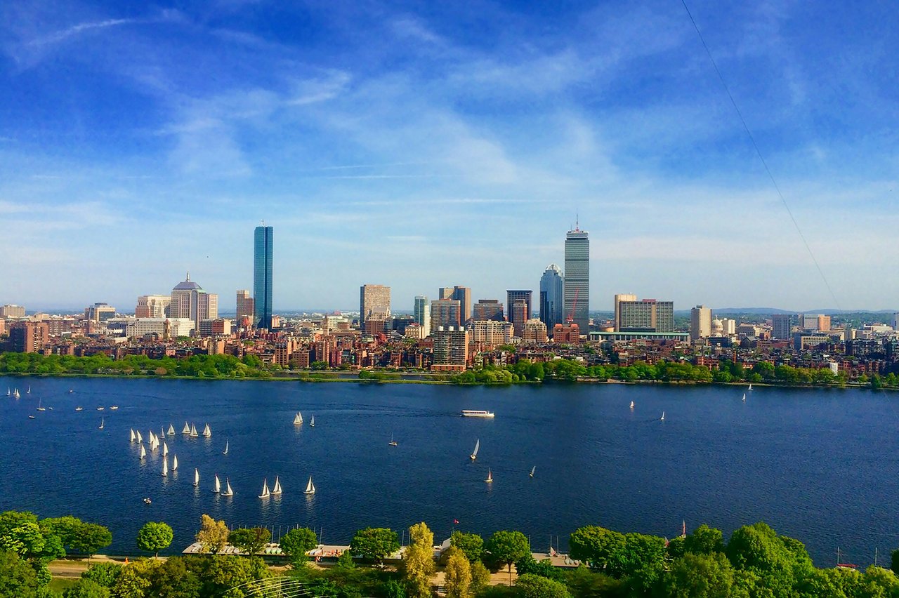
Boston is the capital of Massachusetts and the center of the Greater Boston region, a city of distinct neighborhoods set along Boston Harbor and the Charles River. Settled in 1630 on the Shawmut Peninsula, it grew through landfill and the annexation of neighboring towns, and today its homes range from colonial-era rowhouses downtown to harbor-view towers and tree-lined streets of single-family houses.
The original town sat on a small, hilly peninsula. Over the 19th century, landfill created the Back Bay, much of the South End, and new land along the waterfront, while railroads and bridges tied the city to its neighbors. Between 1868 and 1912 Boston annexed the former towns of Roxbury, Dorchester, Brighton, Charlestown, West Roxbury, and Hyde Park. That history is why Boston is often called a city of neighborhoods: many of them were once separate towns, each with its own main streets, squares, and architecture.
The historic core includes Beacon Hill, the North End, the West End, Downtown, the Financial District, Midtown, the Theater District, Chinatown, the Leather District, and Bay Village. Along the harbor are the Waterfront, the Seaport District, Fort Point, South Boston, Charlestown, and East Boston. To the west and south are Fenway / Kenmore, Allston/Brighton, Mission Hill, Jamaica Plain, Roxbury, Dorchester, Roslindale, West Roxbury, Hyde Park, and the Boston side of Chestnut Hill.
The MBTA's Red, Orange, Blue, and Green lines and the Silver Line connect most neighborhoods to downtown, and commuter rail trains run from North Station and South Station to the suburbs. Logan International Airport sits in East Boston on the Blue Line. Interstate 93 and the Massachusetts Turnpike are the main highways, and much of the central city is walkable.
Boston's housing reflects the age of each neighborhood. Beacon Hill, the Back Bay, and the South End are known for brick and brownstone rowhouses, many divided into condominiums. Fort Point and the Leather District offer lofts in former warehouses, while the Seaport, Midtown, and the Waterfront have full-service condominium towers. Dorchester, East Boston, and South Boston are home to triple-deckers and two- and three-unit houses, and West Roxbury, Roslindale, and Jamaica Plain have many single-family Victorian and Colonial Revival homes. Each neighborhood page on our site describes its housing and the condominium buildings we cover there.
Boston Common, laid out in 1634, is the country's oldest public park, and the Freedom Trail starts there, a 2.5-mile red line leading to 16 historic sites. Frederick Law Olmsted's Emerald Necklace links about 1,100 acres of parks from the Back Bay Fens to Franklin Park, and the Charles River Esplanade and the Harborwalk line the water. Fenway Park has hosted the Red Sox since 1912, and the city's museums, theaters, and universities add to a full year-round calendar.
What kinds of homes are in Boston?
Housing reflects each neighborhood's age. Beacon Hill, the Back Bay and the South End have brick and brownstone rowhouses, many divided into condominiums. Fort Point and the Leather District have warehouse lofts, the Seaport, Midtown and the Waterfront have full-service towers, and Dorchester, East Boston and South Boston have triple-deckers and two- and three-unit houses.
How do you get around Boston?
The MBTA's Red, Orange, Blue and Green lines and the Silver Line connect most neighborhoods to downtown, and commuter rail runs from North Station and South Station to the suburbs. Logan International Airport is in East Boston on the Blue Line, and much of the central city is walkable.
Why is Boston called a city of neighborhoods?
Many of its neighborhoods were once separate towns. Between 1868 and 1912 Boston annexed Roxbury, Dorchester, Brighton, Charlestown, West Roxbury and Hyde Park, and each kept its own main streets, squares and architecture.
To see homes for sale in Boston, browse the listings below. Thinking of buying or selling in Boston? Call (617) 848-9616 or get a free home valuation
666,442 people live in Boston, where the median age is 33.3 and the average individual income is $61,698. Data provided by the U.S. Census Bureau.
Total Population
Median Age
Population Density Population Density This is the number of people per square mile in a neighborhood.
Average individual Income
There's plenty to do around Boston, including shopping, dining, nightlife, parks, and more. Data provided by Walk Score and Yelp.
Explore popular things to do in the area, including Boston Food Truck Alliance, The Store 24, and Harpoon Brewery Annual 5-miler to Benefit the Angel Fund.
| Name | Category | Distance | Reviews |
Ratings by
Yelp
|
|---|---|---|---|---|
| Dining | 0.99 miles | 0 reviews | 0/5 stars | |
| Dining | 1.32 miles | 0 reviews | 0/5 stars | |
| Dining · $$ | 1.37 miles | 4 reviews | 3.8/5 stars | |
| Dining | 2.33 miles | 1 review | 2/5 stars | |
| Dining | 2.34 miles | 0 reviews | 0/5 stars | |
| Dining | 2.4 miles | 4 reviews | 1/5 stars | |
| Shopping | 2.05 miles | 1 review | 5/5 stars | |
| Active | 0.59 miles | 0 reviews | 0/5 stars | |
| Active | 0.89 miles | 0 reviews | 0/5 stars | |
| Active | 1.04 miles | 1 review | 1/5 stars | |
| Active | 1.31 miles | 0 reviews | 0/5 stars | |
| Active | 1.5 miles | 0 reviews | 0/5 stars | |
| Active | 1.63 miles | 0 reviews | 0/5 stars | |
| Active | 1.76 miles | 0 reviews | 0/5 stars | |
| Active | 1.85 miles | 0 reviews | 0/5 stars | |
| Nightlife | 2.18 miles | 86 reviews | 3.2/5 stars | |
| Beauty | 0.99 miles | 1 review | 5/5 stars | |
| Beauty | 0.99 miles | 2 reviews | 5/5 stars | |
| Beauty | 1.4 miles | 1 review | 5/5 stars | |
| Beauty | 1.71 miles | 0 reviews | 0/5 stars | |
| Beauty | 1.84 miles | 0 reviews | 0/5 stars | |
| Beauty | 1.93 miles | 0 reviews | 0/5 stars | |
| Beauty | 2.18 miles | 0 reviews | 0/5 stars | |
|
|
||||
|
|
||||
|
|
||||
|
|
||||
|
|
||||
|
|
Boston has 283,374 households, with an average household size of 2.19. Data provided by the U.S. Census Bureau. Here’s what the people living in Boston do for work — and how long it takes them to get there. Data provided by the U.S. Census Bureau. 666,442 people call Boston home. The population density is 13,786 and the largest age group is Data provided by the U.S. Census Bureau.
Total Population
Population Density Population Density This is the number of people per square mile in a neighborhood.
Median Age
Men vs Women
Population by Age Group
0-9 Years
10-17 Years
18-24 Years
25-64 Years
65-74 Years
75+ Years
Education Level
Total Households
Average Household Size
Average individual Income
Households with Children
With Children:
Without Children:
Marital Status
Blue vs White Collar Workers
Blue Collar:
White Collar: